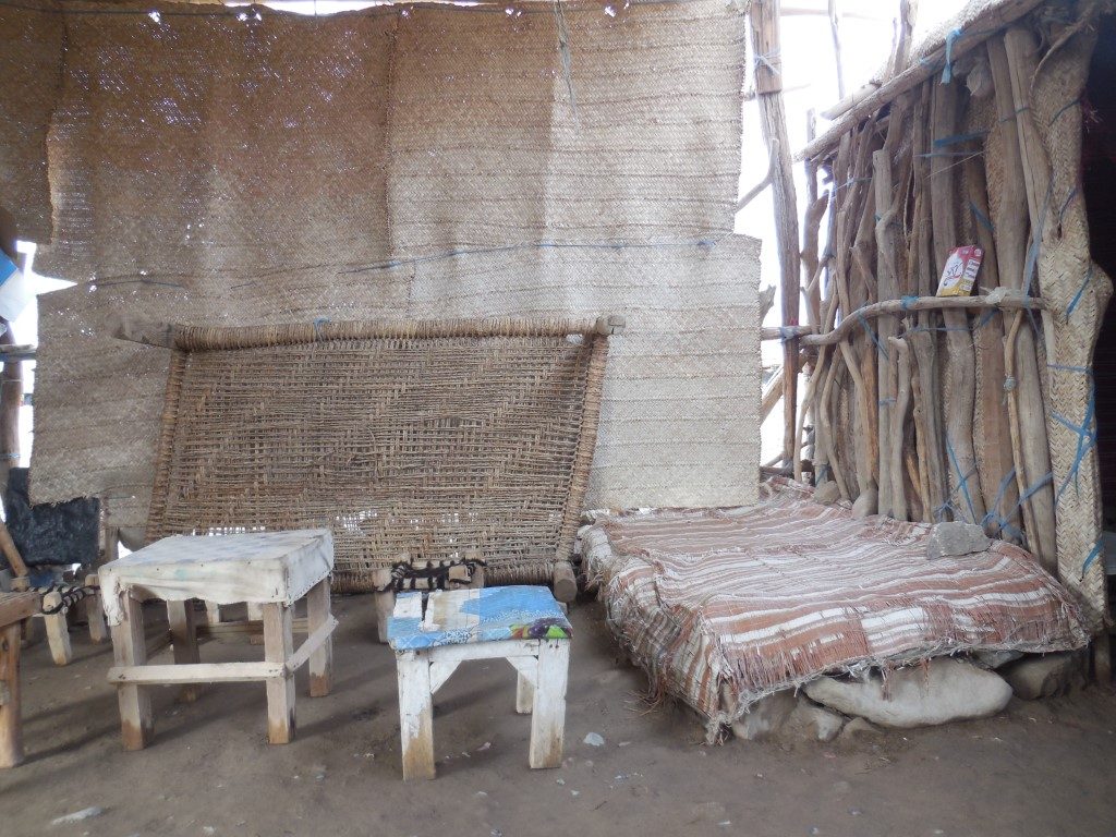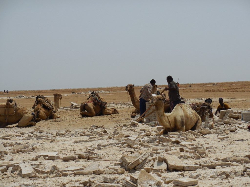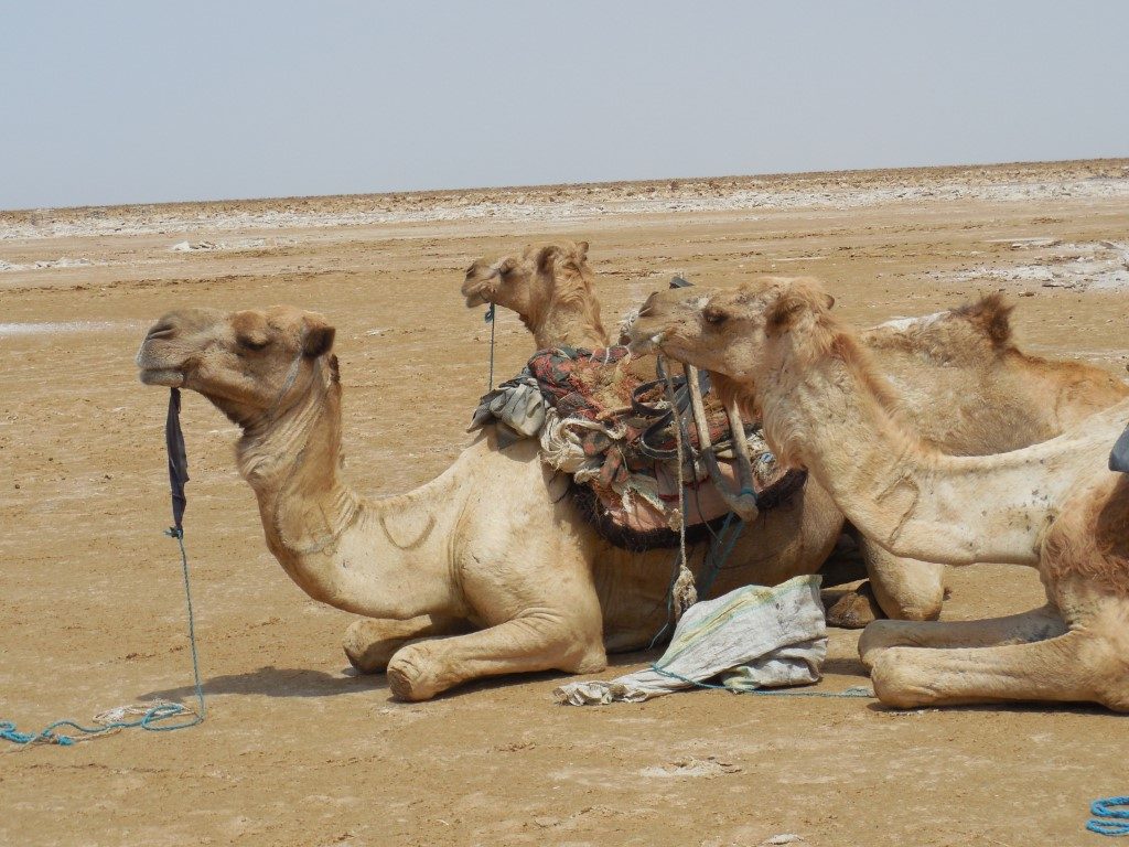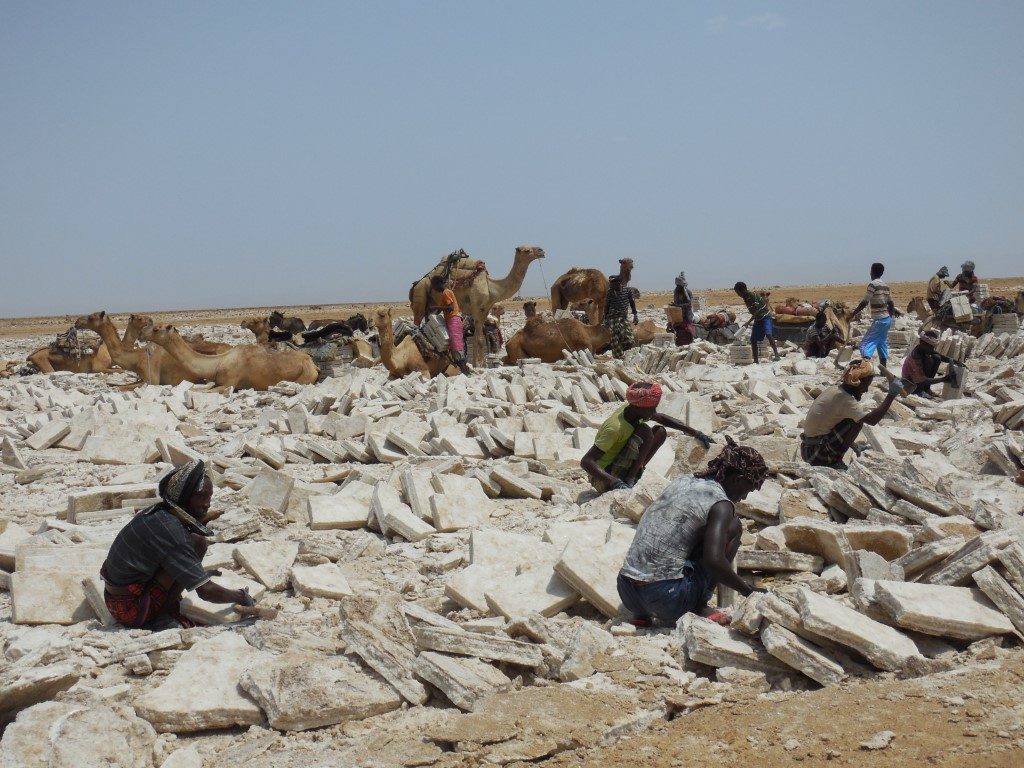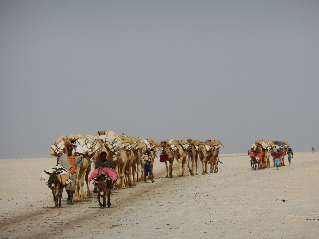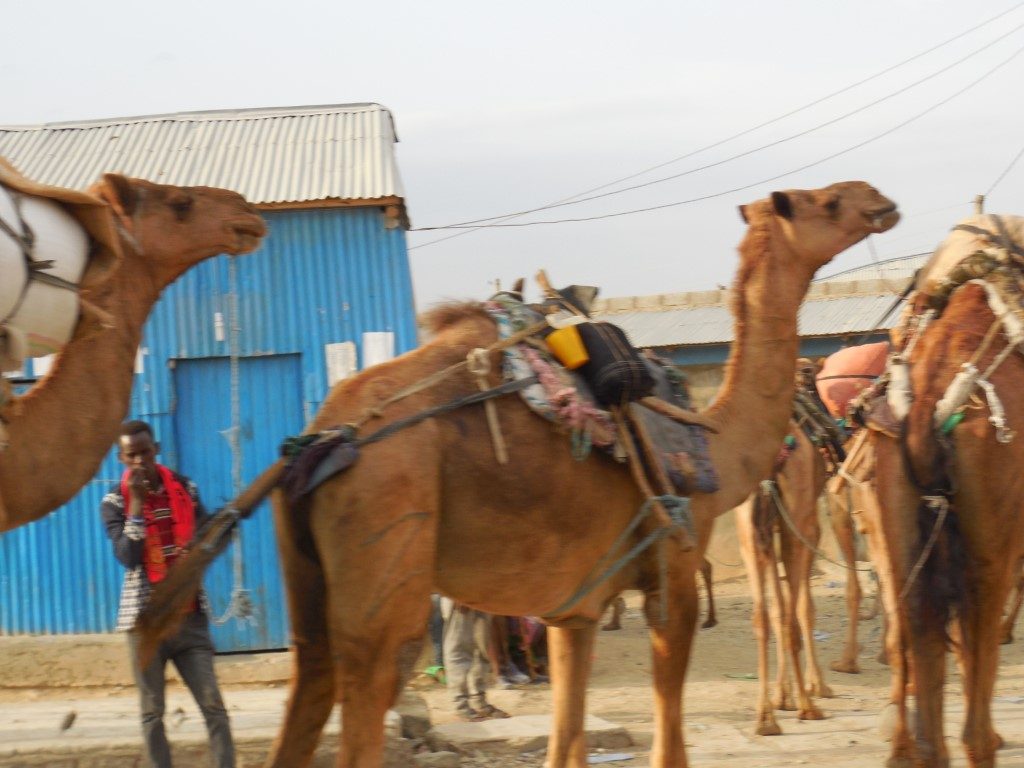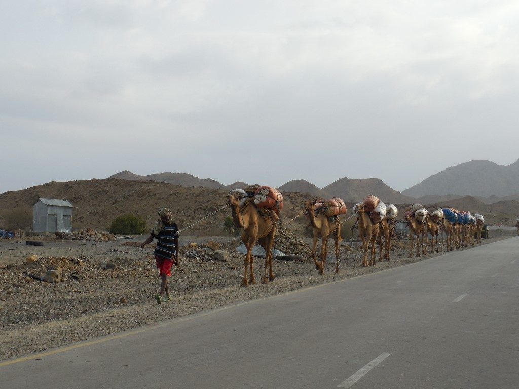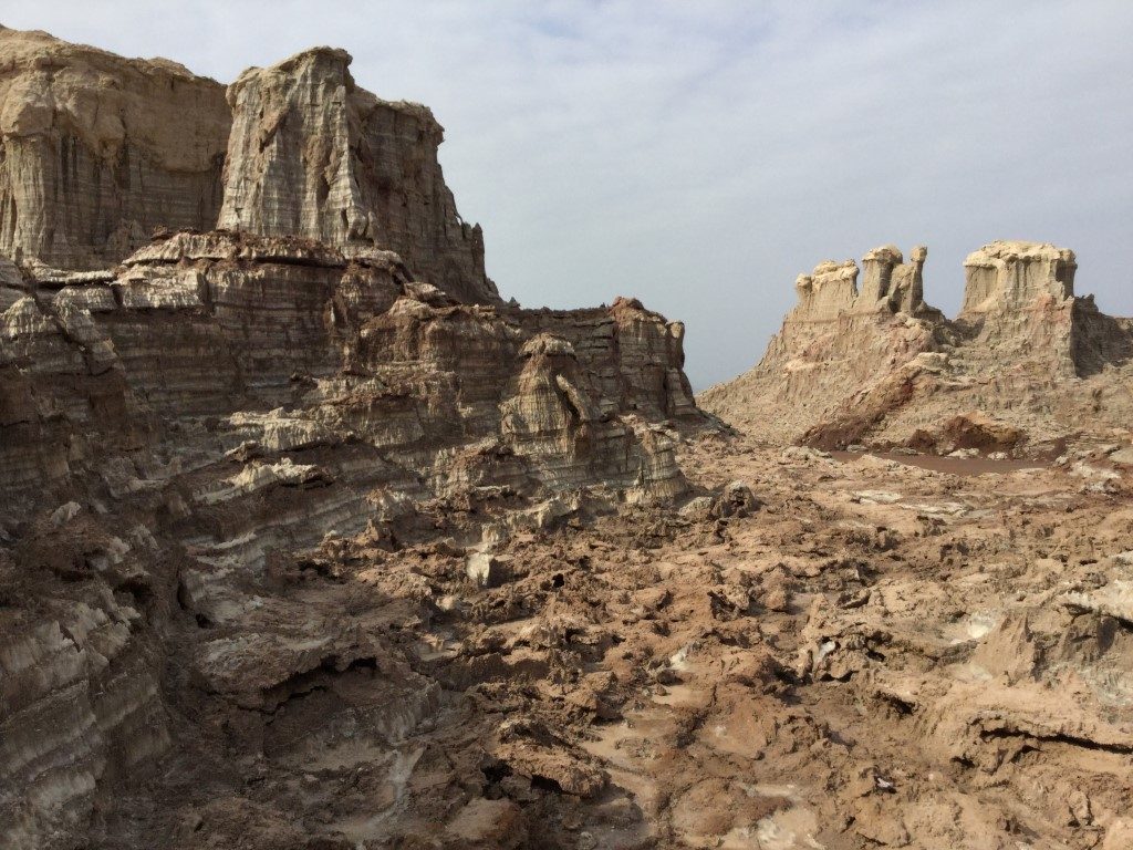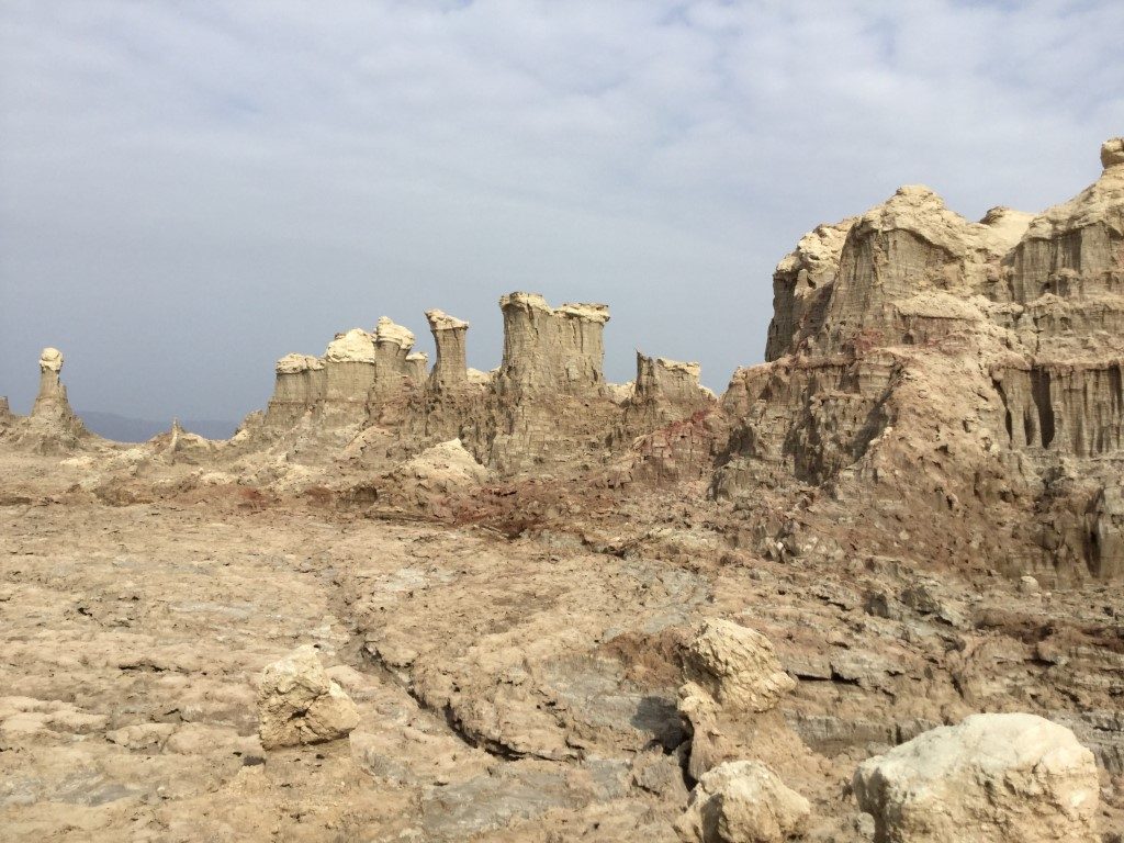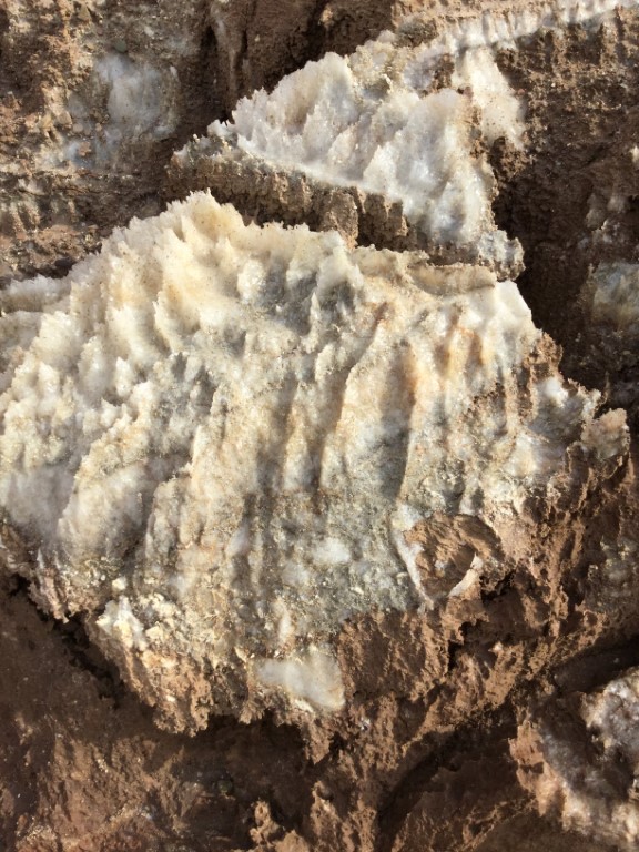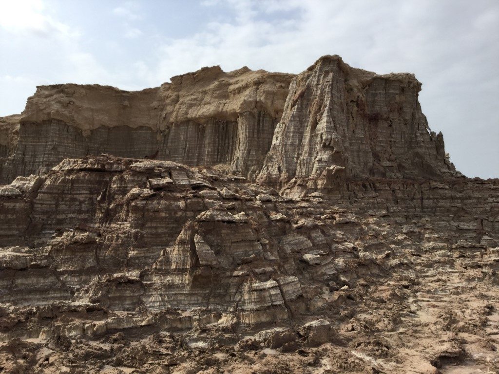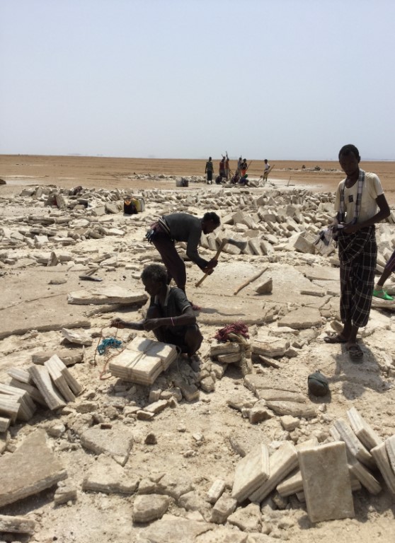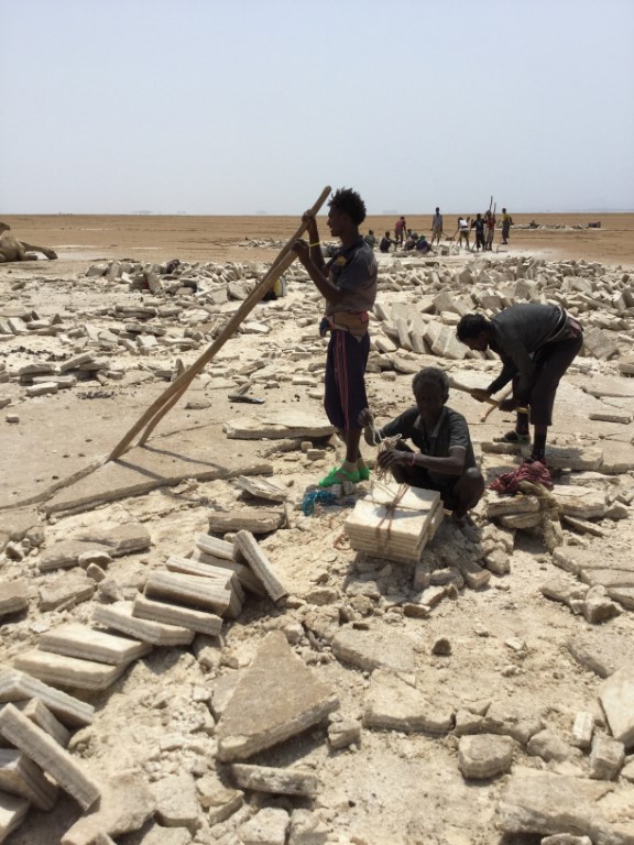
danakil depression AND SALT MInes
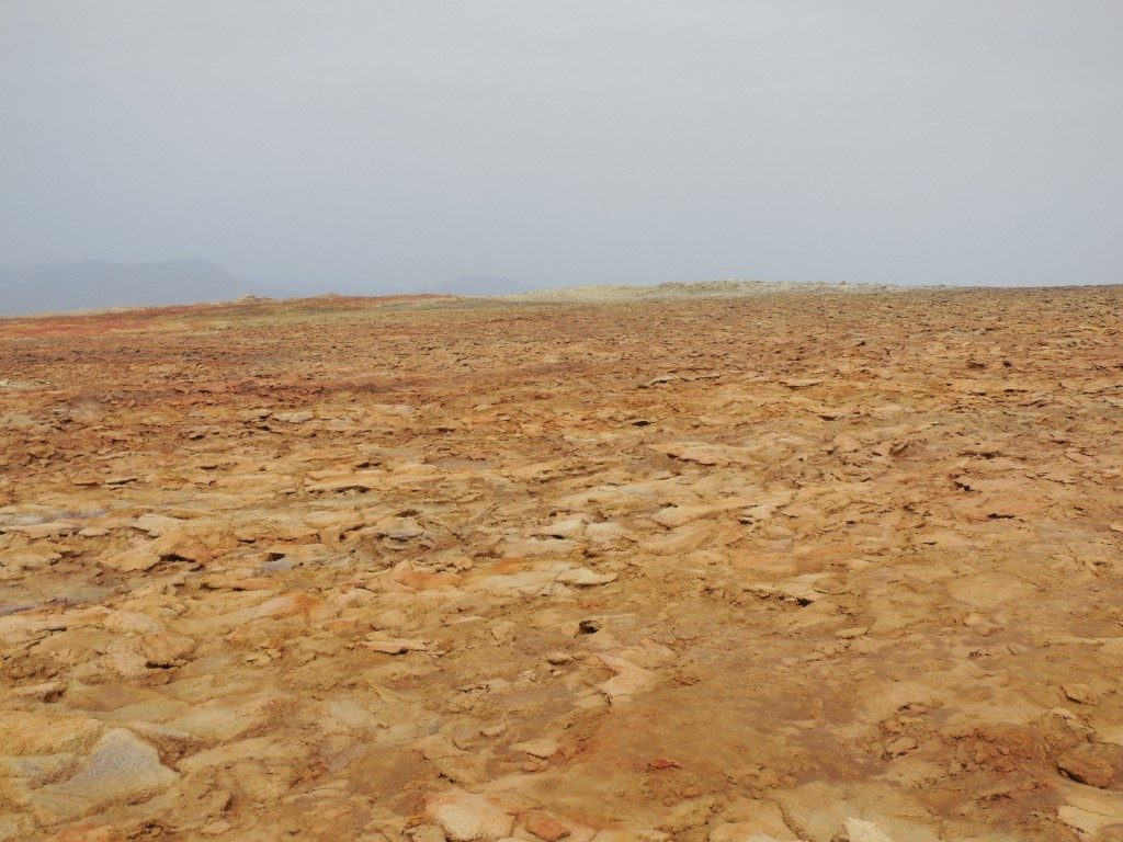
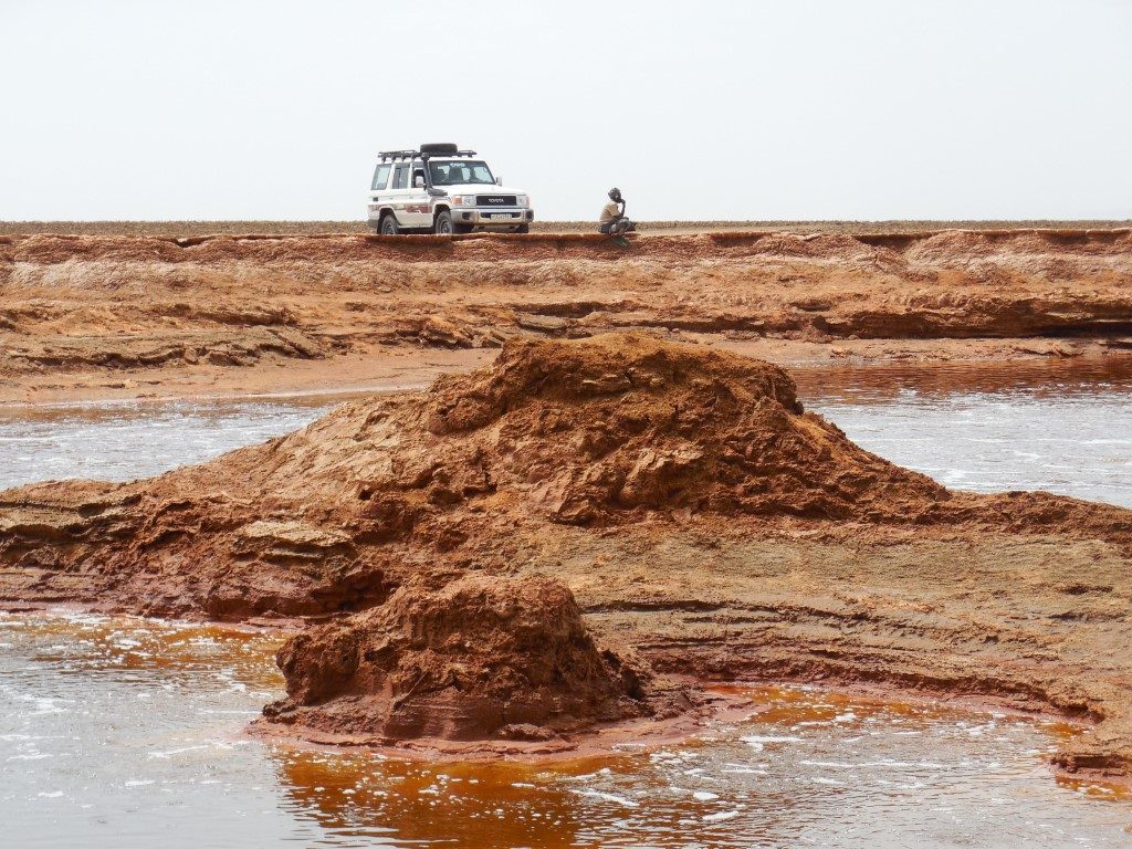
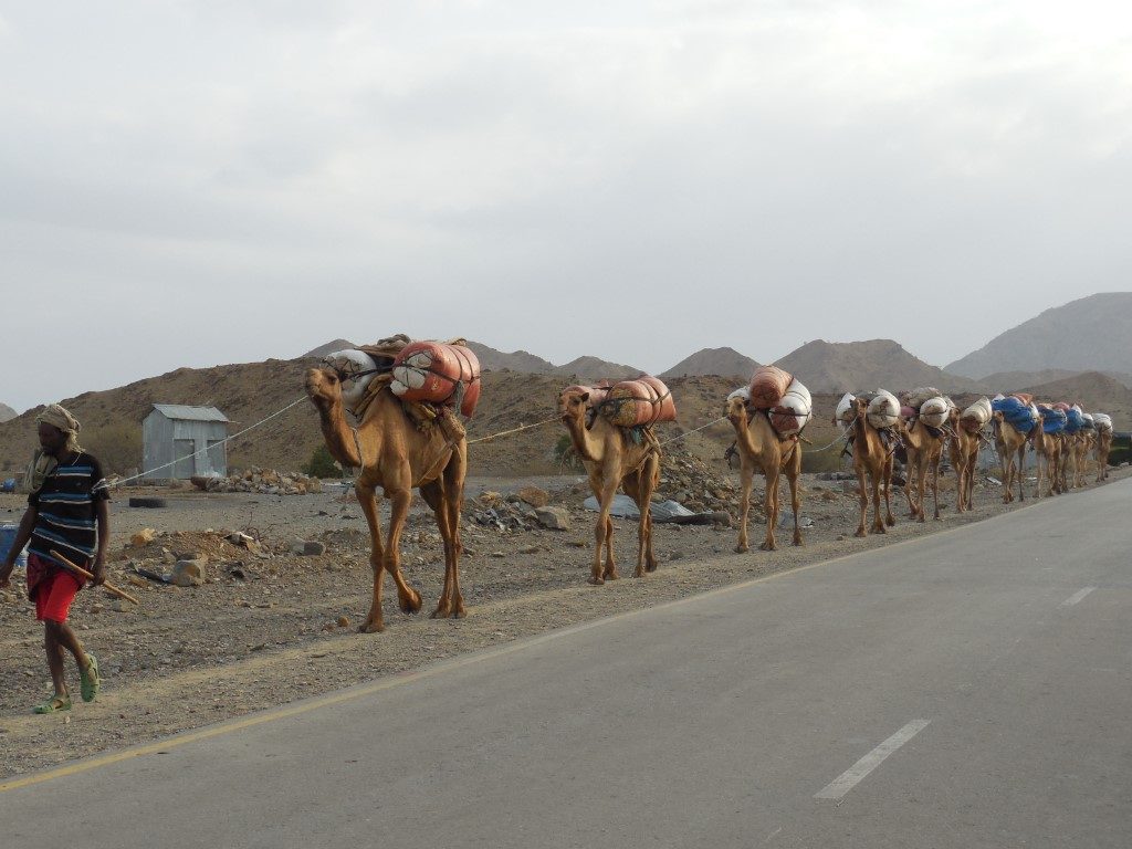
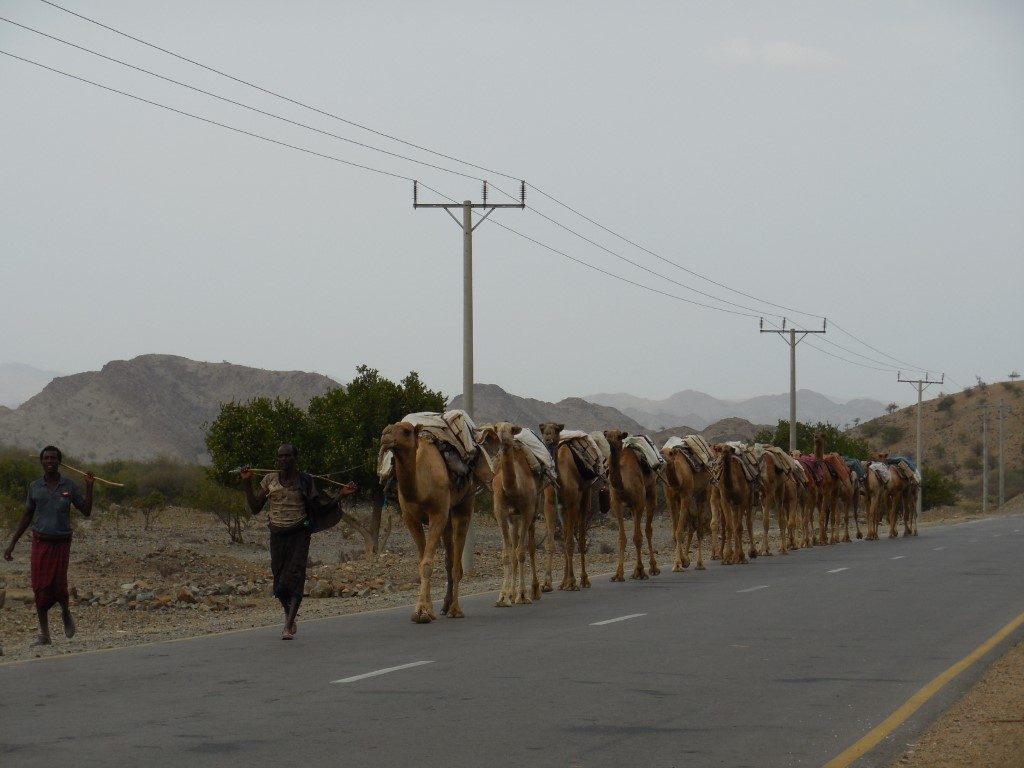
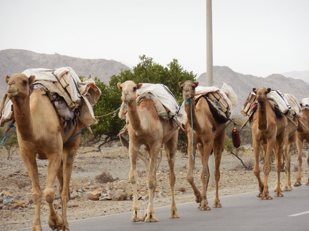
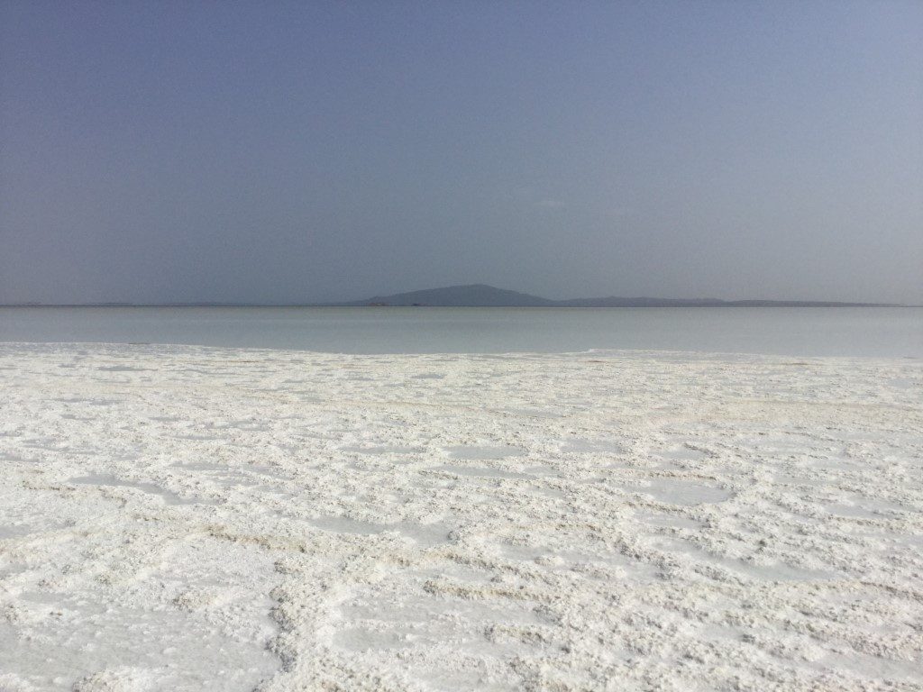
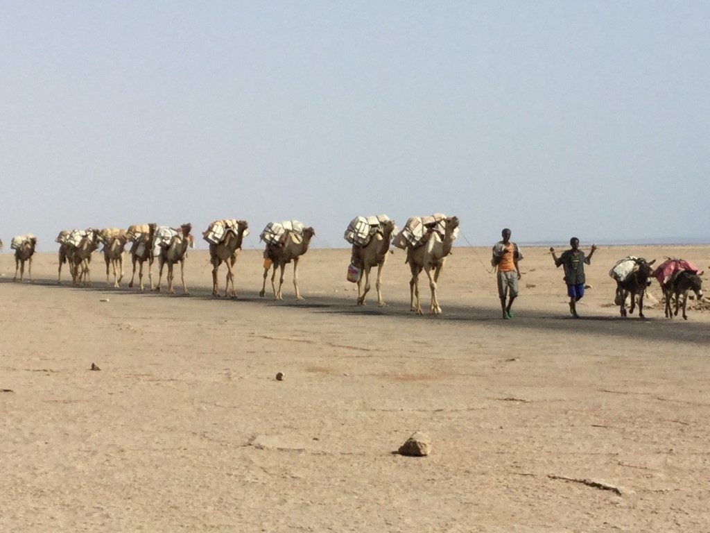
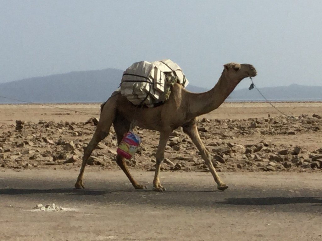
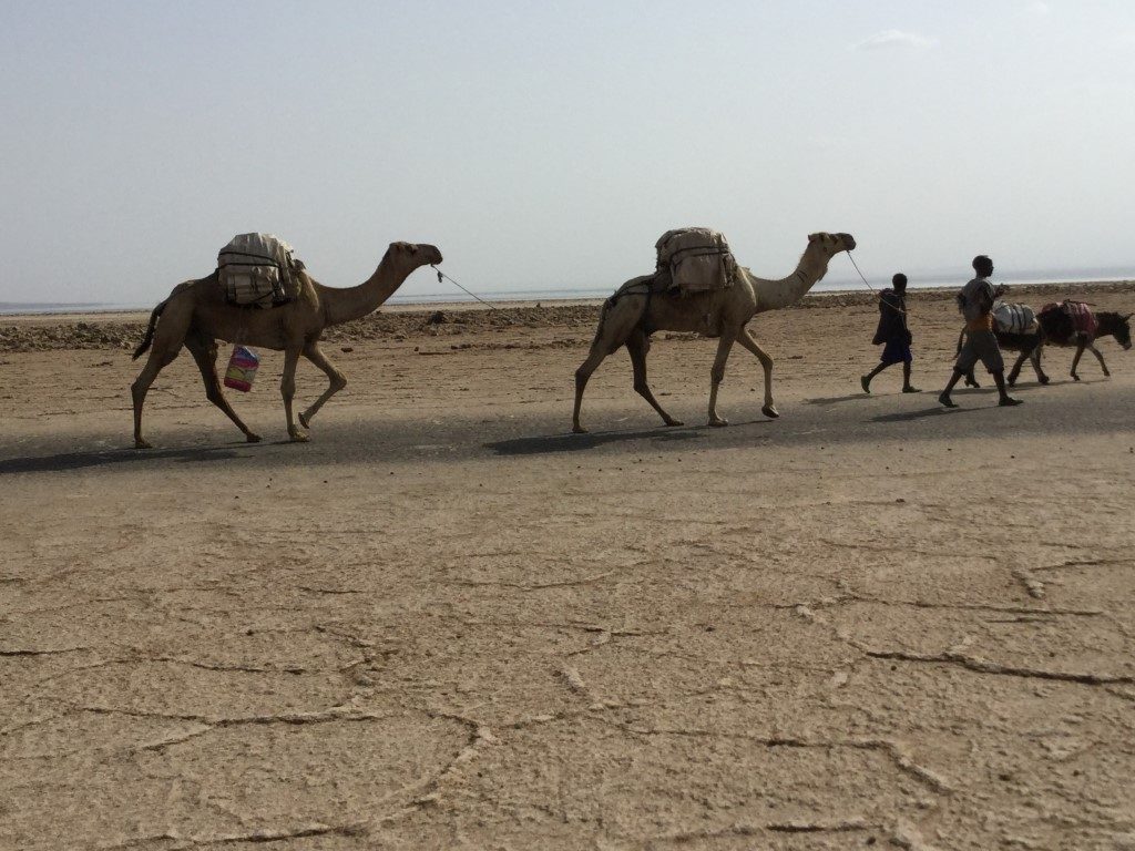
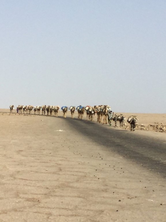
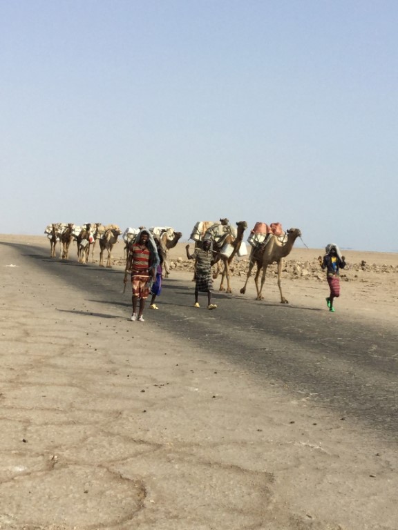
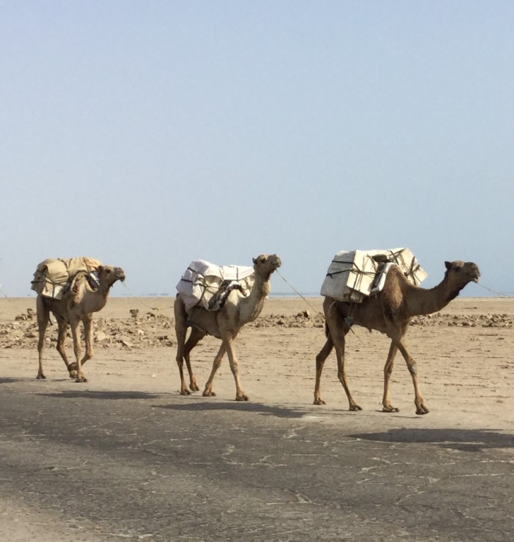
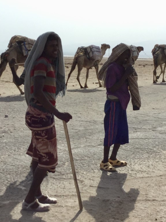
The Danakil Desert covers an area of 136,956 square kilometers; in northeast Ethiopia, southern Eritrea and northwestern Djibouti. The Dankil Depression is a vast plain, of some 10,000 square kilometers in the North of the Afar Region close to the Ehtiopian-Eritrean border. It is not only one of the lowest points of the planet (150 m below sea level), but also one of the driest and hottest, with daytime temperatures during certain months of the year surpassing 50 °C and more. Here, the Awash River dries up before reaching the Indian Ocean, forming a chain of salt lakes. Geologically, the Danakil Depression was formed by the divergence of three tectonic plates in the Horn of Africa, namely the African Plate, Indian Plate and Arabian Plate.
The region has disclosed fossil specimens of the very earliest hominids. In 1974, anthropologist Donald Johanson and his colleagues found the famous Australopithecus fossil Lucy which has been dated 3.2 million years old and whose reconstruction you can find in the Ethnographic Museum of Addis Ababa.
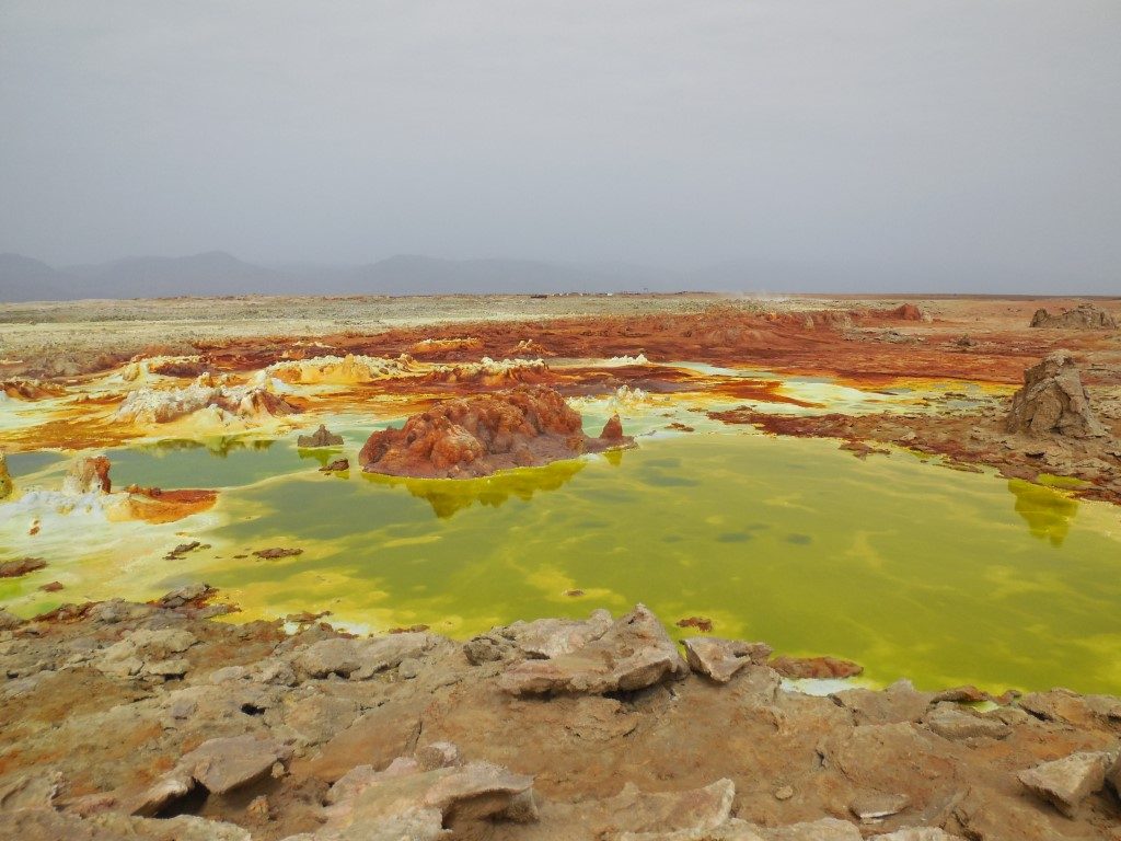
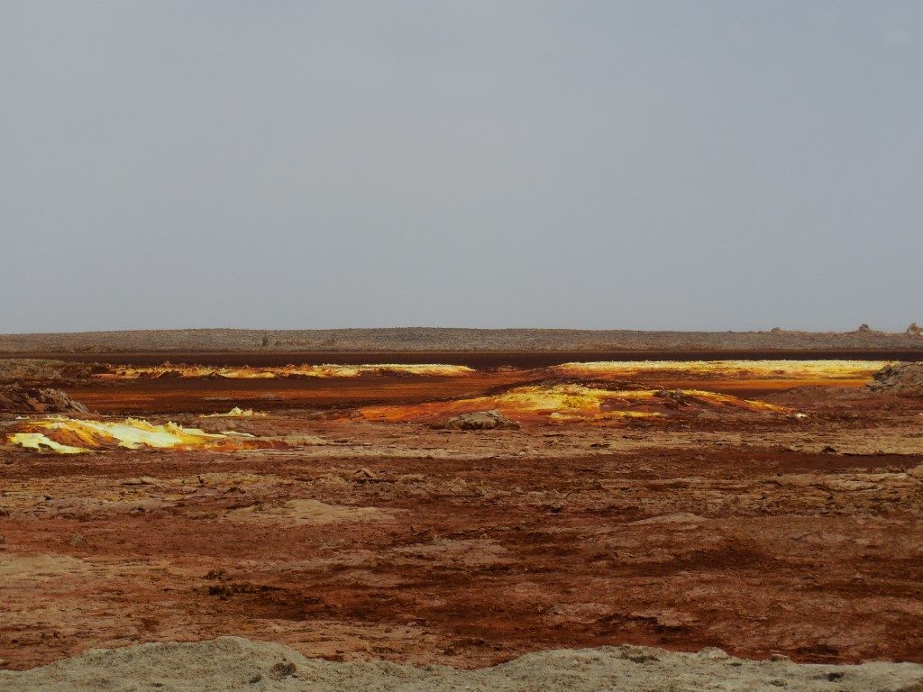
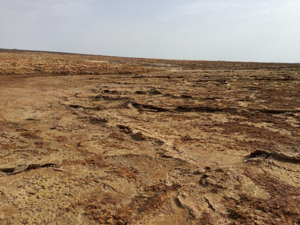
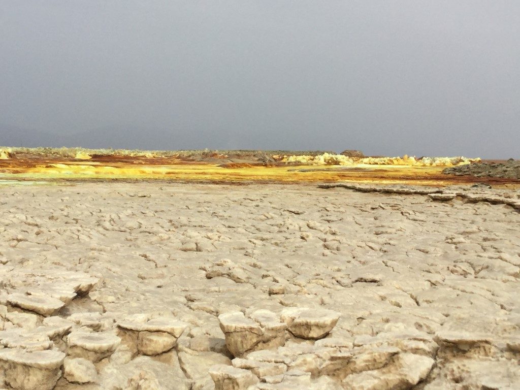
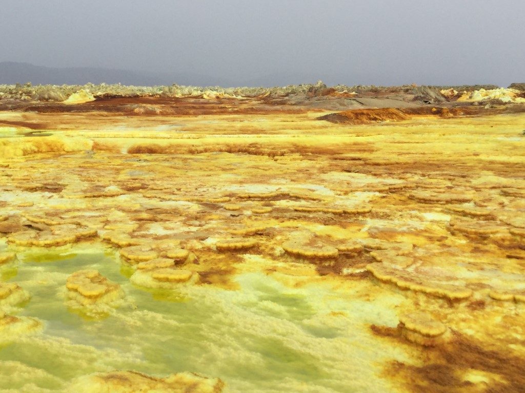
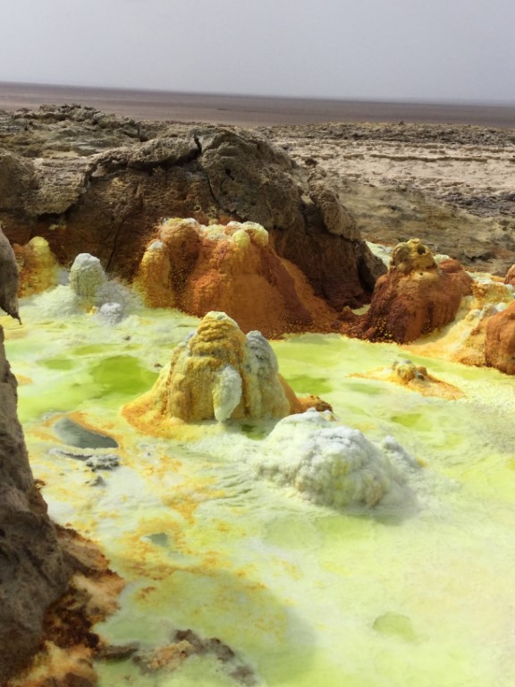
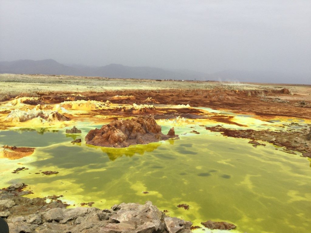
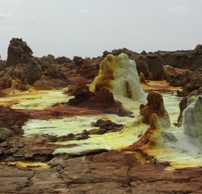
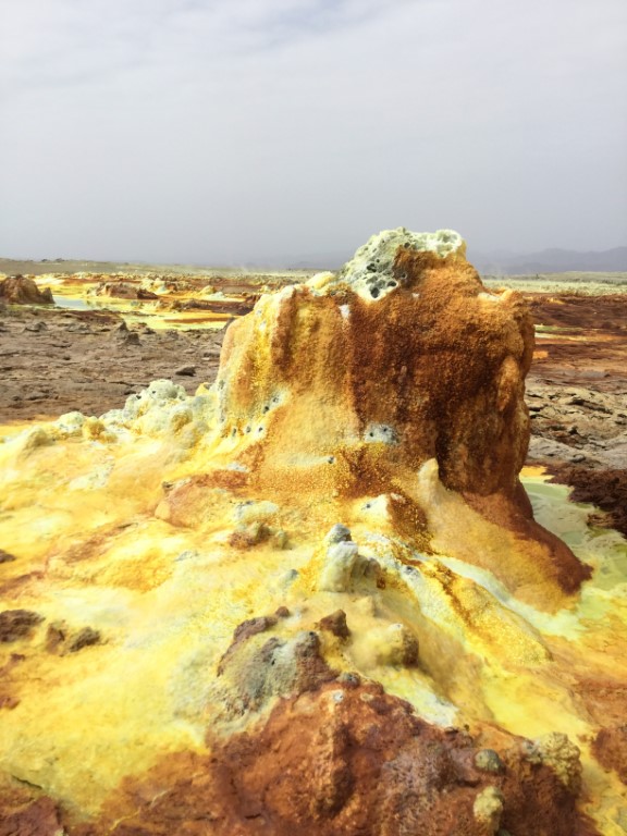
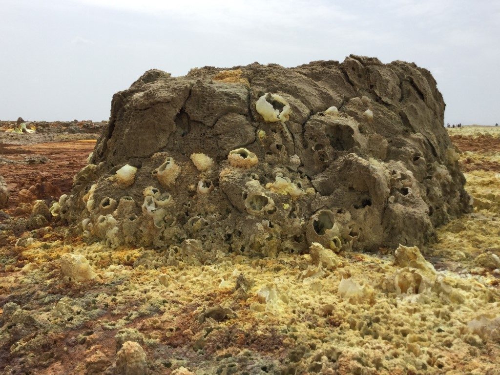
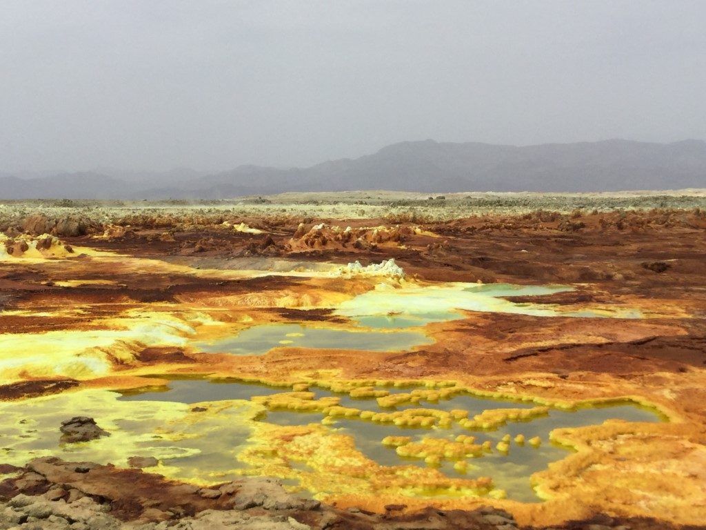
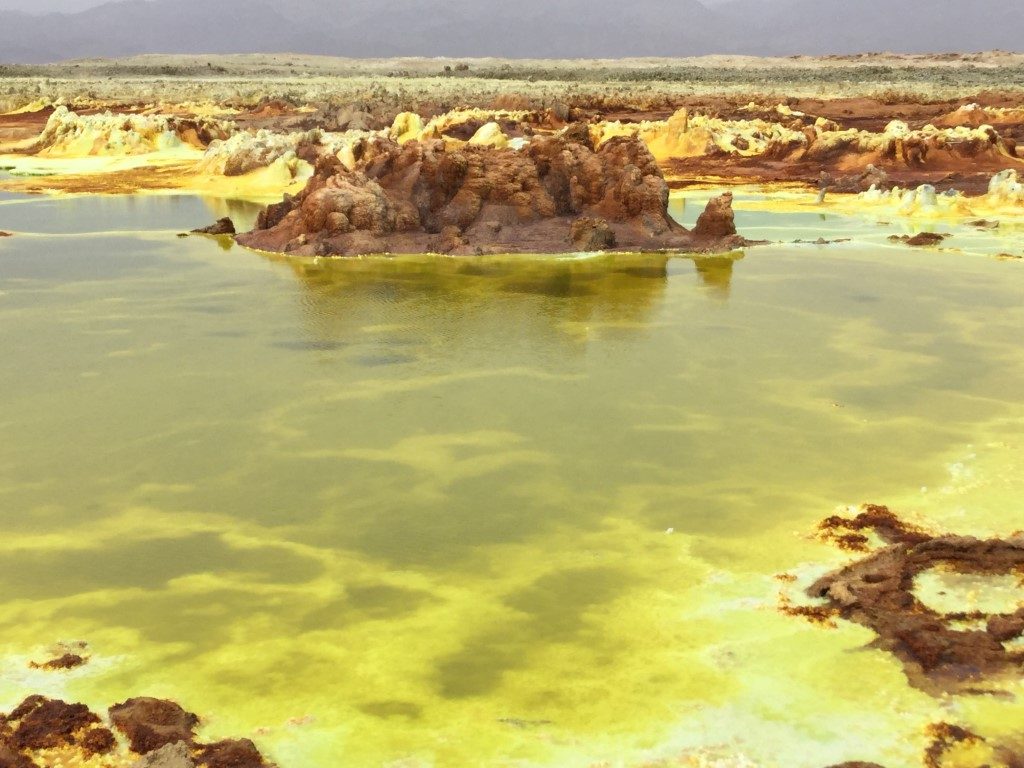
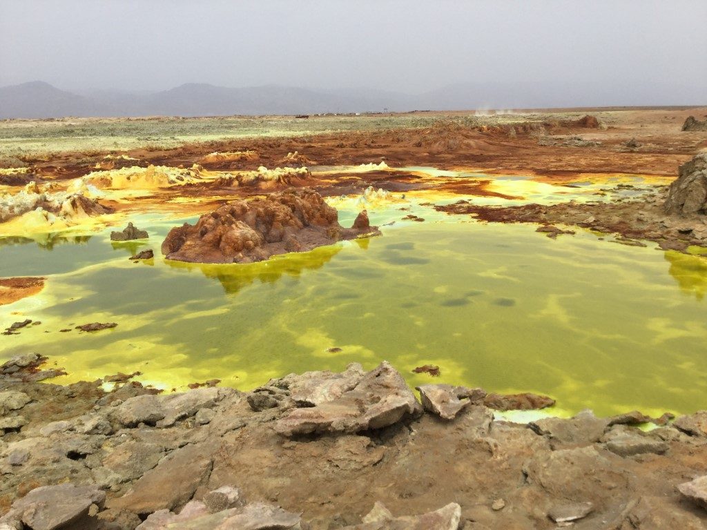
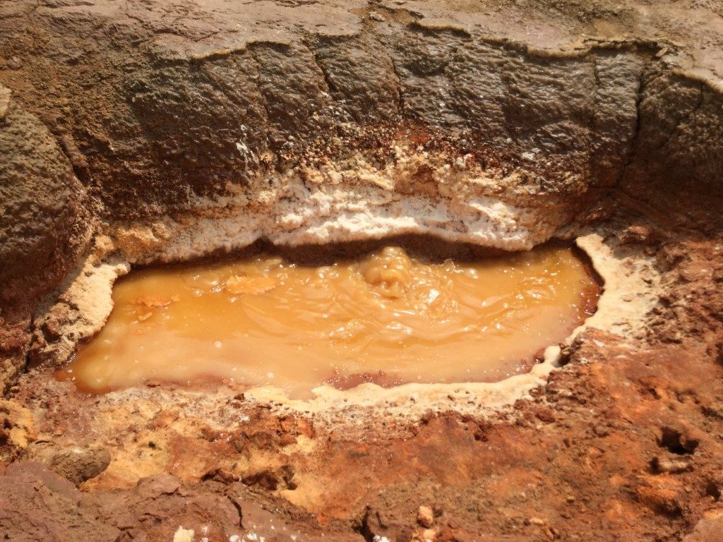
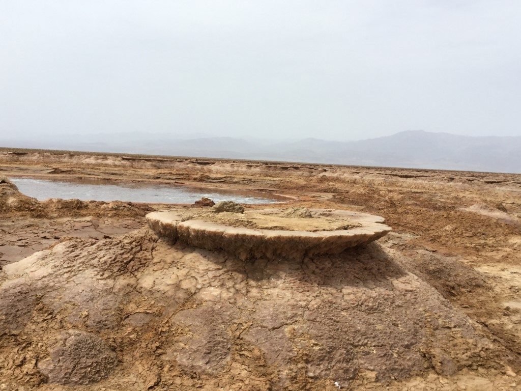
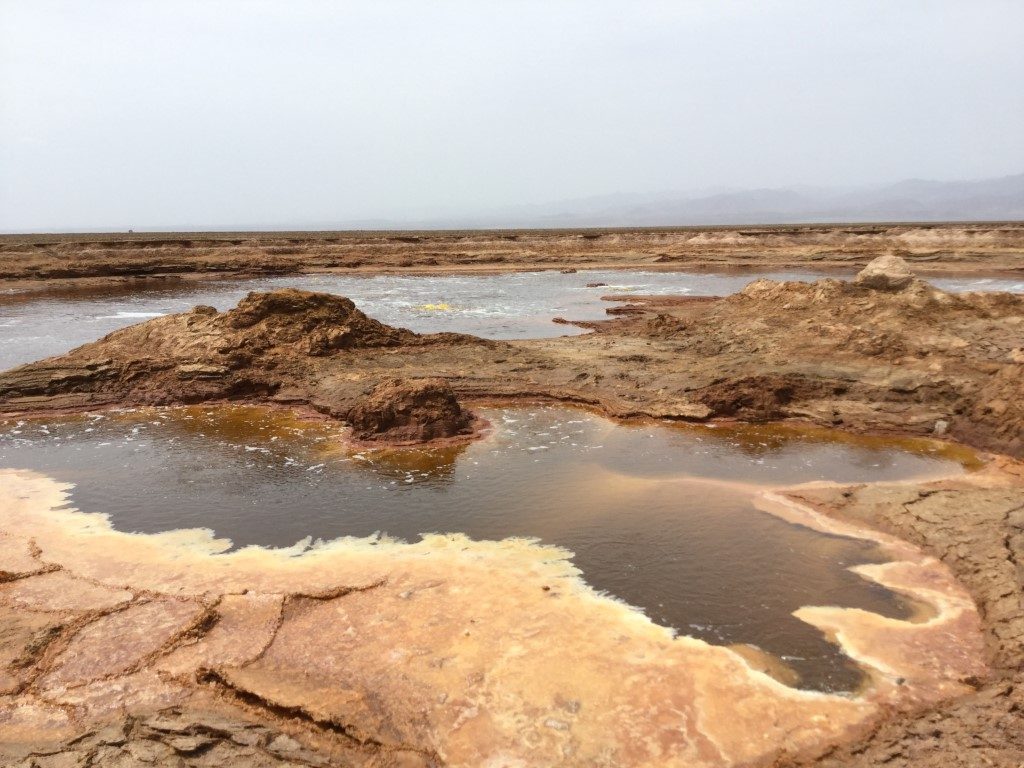
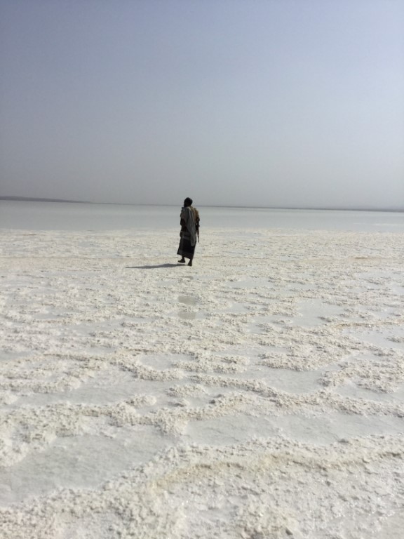
The landscape of the Danakil Depresión is haunting. The sulphur, copper and magnesium deposits of Dollol volcano grow in capricious formations around the boiling acid water lakes shining in eerie colors of bright yellow, toxic green and brown. Nauseating, yellowish fumes gurgle and blubber and hot sulphur spouts rise from the interior of the earth. It is the most haunting, desolate and alluringly beautiful place on earth.